
DSOC · AI Research Lab (AIR)
Faster, more accurate disaster data
The DSOC AI Research Lab (AIR) speeds the development of tools and processes using advanced computing, big data, and artificial intelligence, and delivers usable information to the people who make the call.

The laboratory
Research that ships
Based in EST 339 and led by Dr. Manmeet Singh, the AI Research Lab (AIR) is where DSOC leads the AI innovation space for advanced applications in meteorology, disaster preparedness, and emergency management.
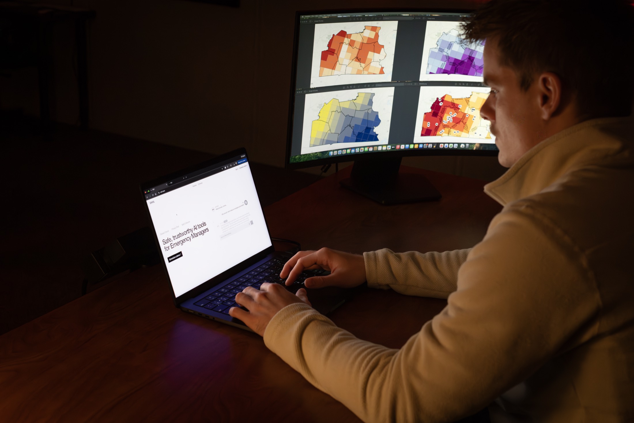
Through our partnership with EM1, an AI-powered emergency-management platform, students work with the same tools professional emergency managers deploy in the field.
Live products
Use them right now
Three decision-support tools built in the lab, running live. No login, no install.
Kentucky County Hazard Maps
Seven maps per county: an overall multi-hazard view on a stoplight scale, plus six hazard-specific ramps.
Open the app → Live · StreamlitHistorical KY Flood Events Story Map
Major Kentucky floods with a timeline, map, and event context, overviews, impacts, river crests, and historical photos.
Open the app → Live · StreamlitFlash Flood Warning & Rainfall Tracker
Active NWS Flash Flood Warnings overlaid with MRMS radar-estimated precipitation, filterable by county and state.
Open the app →Research to operations
Have a data problem worth solving?
The lab takes on applied research and custom analytics for partners, from hazard mapping to AI-assisted forecast products.